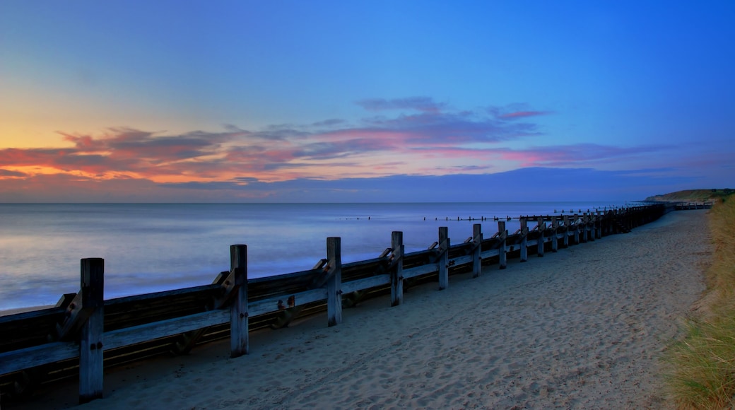

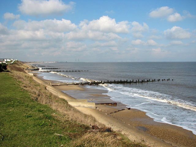
استكشاف هوبتون أون سي
أماكن مشهورة يمكنك زيارتها

حدائق تريغبي هول للحياة البرية
استكشف الأماكن المفتوحة الرائعة في حدائق تريغبي هول للحياة البرية، التي تُعد من المناطق الخضراء الجميلة في موتبي.تجول على طول الواجهة البحريّة في هذه المنطقة التي تبعتث على الاسترخاء، أو استمتع بزيارة البارات المُفعمة بالحيوية.
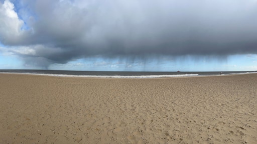
شاطئ جريت يارموث
إذا كان تخصيص وقت للاستجمام جزء من خطة سفرك، فلا تفوت زيارة شاطئ جريت يارموث في أثناء رحلتك إلى غريت يارموث.في أثناء وجودك بالمنطقة، تجول على طول الواجهة البحريّة.
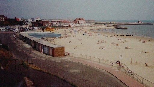
شاطئ ذا بلاجر
اصطحب عائلتك إلى شاطئ ذا بلاجر واستمتع بيوم مليء بالمرح في الحديقة الترفيهية الموجودة بغريت يارموث. تفقد إطلالات الشواطئ الفاتنة والواجهة البحريّة في هذه المنطقة الغنية بالطابع الثقافي.
شاطئ جورليستون
إذا كان تخصيص وقت للاستجمام جزء من خطة سفرك، فلا تفوت زيارة شاطئ جورليستون في أثناء رحلتك إلى غريت يارموث.في أثناء وجودك بالمنطقة، تجول على طول الواجهة البحريّة.
متحف بيرتانيا بيير
يمكنك الاستمتاع بعرض في متحف بيرتانيا بيير في أثناء رحلتك إلى غريت يارموث. تفقد إطلالات الشواطئ الفاتنة والواجهة البحريّة في هذه المنطقة الغنية بالطابع الثقافي.
سيلايف غرايت يارموث
اصطحب العائلة إلى سيلايف غرايت يارموث واستمتع بيوم مليء بالمرح في حديقة الملاهي الموجودة بغريت يارموث. تجول على طول الواجهة البحريّة في هذه المنطقة الغنية بالطابع الثقافي، أو استمتع بزيارة المطاعم الرائعة.


