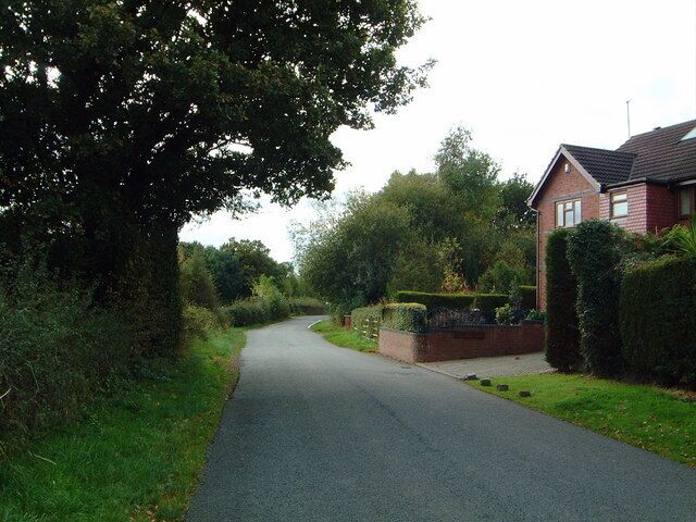
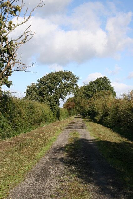
Higher Kinnerton
Travel Guide

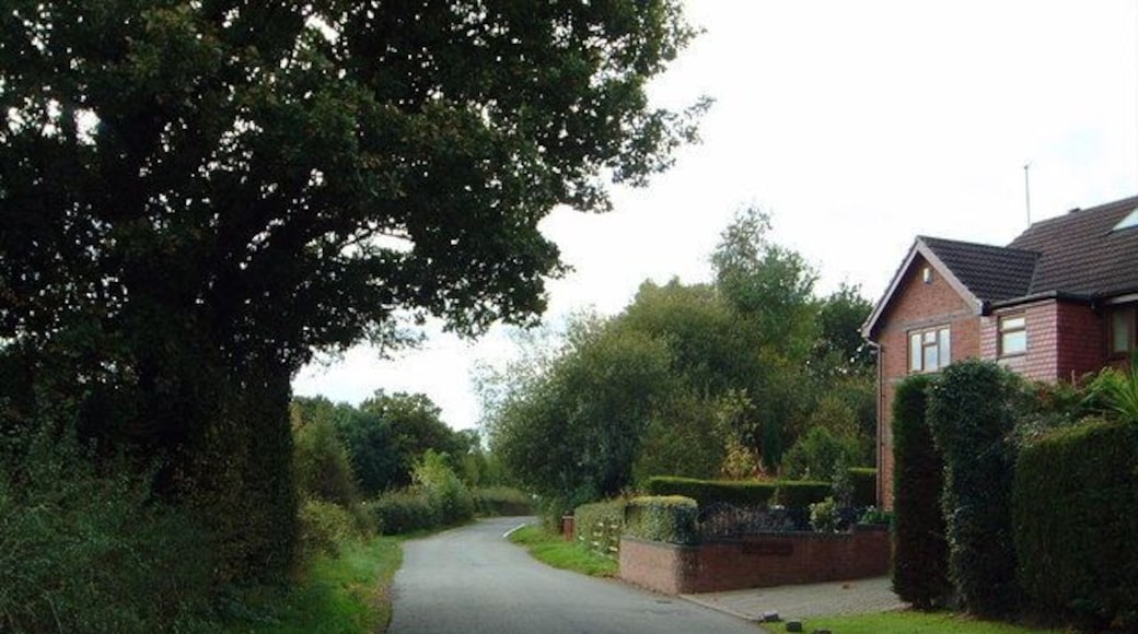
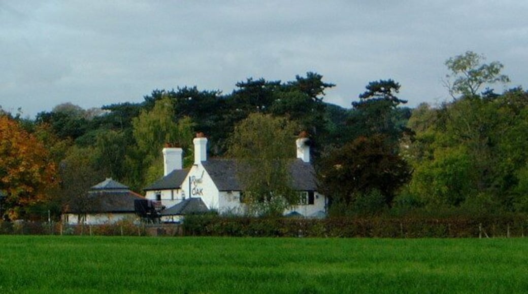


Visit Higher Kinnerton

Titanic Hotel Liverpool
Stanley Dock, Regent Road Liverpool England
The price is SAR 418 per night from Jun 28 to Jun 29
SAR 418
SAR 513 total
28 Jun - 29 Jun
includes taxes & fees
Book a stay at this business-friendly hotel in Liverpool. Enjoy free WiFi, breakfast (surcharge), and 24-hour room service. Our guests praise the restaurant ...

The Mill Hotel & Spa
Milton Street Chester England
The price is SAR 247 per night from Jul 12 to Jul 13
SAR 247
SAR 297 total
12 Jul - 13 Jul
includes taxes & fees
Book a stay at this spa hotel in Chester. Enjoy free breakfast, free WiFi, and a full-service spa. Our guests praise the breakfast and the pool in our reviews. ...
8.8/10 Excellent! (2,220 reviews)
"All good apart from the carpark charge not happy £12 also we had a lot off road noise as had to keep windows open as just to hot even with fan supplied but al in all super place great staff and health club breakfast super aswell 👍"
Reviewed on 27 June 2026

Maldron Hotel Liverpool City
2 Park Lane Liverpool England
The price is SAR 335 per night from Jun 29 to Jun 30
SAR 335
SAR 413 total
29 Jun - 30 Jun
includes taxes & fees
Stay at this hotel in Liverpool. Enjoy a fitness center, a 24-hour front desk, and 3 meeting rooms. Popular attractions Anfield Stadium and Liverpool ONE are ...
9.2/10 Wonderful! (1,055 reviews)
"Great hotel, very clean, well placed. I’ll definitely look at this hotel again when I’m back."
Reviewed on 26 June 2026
Lowest nightly price found within the past 24 hours based on a 1 night stay for 2 adults. Prices and availability subject to change. Additional terms may apply.

Citadines City Centre Liverpool
72 Church Street Liverpool England
Book a stay at this business-friendly aparthotel in Liverpool. Enjoy free WiFi, breakfast (surcharge), and a fitness center. Our guests praise the helpful staff ...
9.4/10 Exceptional! (1,258 reviews)
"Excellent hotel and staff"
Reviewed on 26 June 2026

8 Stanley Street
8 Stanley Street Liverpool England
Stay at this aparthotel in Liverpool. Enjoy free WiFi and housekeeping. Popular attractions Royal Albert Dock and Anfield Stadium are located nearby.
9.2/10 Wonderful! (19 reviews)
"It’s was nice to go.. just they need to at air conditioning too hot there yesterday night."
Reviewed on 27 June 2026

Aparthotel Adagio Liverpool City Centre
1 Fairclough Street Liverpool England
Book a stay at this family-friendly aparthotel in Liverpool. Enjoy free WiFi, breakfast (surcharge), and a 24-hour fitness center. Our guests praise the helpful ...
9/10 Wonderful! (1,349 reviews)
"Excellent value will book agsin"
Reviewed on 21 June 2026
Lowest nightly price found within the past 24 hours based on a 1 night stay for 2 adults. Prices and availability subject to change. Additional terms may apply.

