

استكشاف تيفتشال سانت ماري
أماكن مشهورة يمكنك زيارتها
جامعة إيست أنغليا
استكشف الحرم الجامعي في جامعة إيست أنغليا في أثناء زيارتك لنورويتش. لا تفوت زيارة مراكز السبا والمطاعم الرائعة في هذه المنطقة التي تبعتث على الاسترخاء.

بي وايلدر وود
اصطحب عائلتك إلى بي وايلدر وود واستمتع بوقت رائع في الحديقة الترفيهية الموجودة بهوفيتون. لا تفوت زيارة مراكز السبا والبارات المُفعمة بالحيوية في هذه المنطقة التي تبعتث على الاسترخاء.

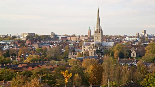
كاتدرائية نورويتش
كاتدرائية نورويتش واحدة من بين الكثير من الأماكن التي يمكنك زيارتها في نورويتش، فلما لا تستمتع بالأشياء الأخرى التي يمكنك استكشافها أثناء رحلاتك؟احرص على حضور مباريات كرة القدم الأمريكية أو استمتع ببساطة بالمطاعم الرائعة في أثناء وجودك بالمنطقة.
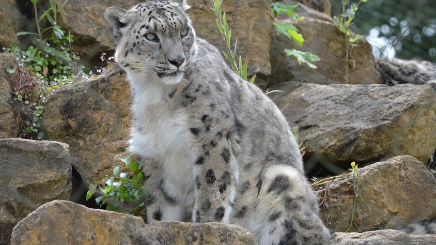
حديقة حيوانات بانهام
لما لا تقم بزيارة الحيوانات المحلية والغريبة التي تُعد حديقة حيوانات بانهام موطنها في أثناء رحلاتك إلى بانهام؟ تعرف على البارات المُفعمة بالحيوية أو المطاعم الرائعة في هذه المنطقة التي تبعتث على الاسترخاء.

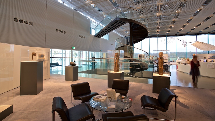
نورويتش القلعة
يُمكنك تصفح المعروضات الموجودة في نورويتش القلعة، والتي تُعد متحفًا له ماضٍ عريق، وذلك في أثناء رحلتك إلى نورويتش. احرص على حضور مباريات كرة القدم الأمريكية أو استمتع ببساطة بالمطاعم الرائعة في أثناء وجودك بالمنطقة.
مضمار سنيتيرتون للسباق
استمتع بحضور الفعاليات في مضمار سنيتيرتون للسباق عند قيامك برحلة إلى سنيترتون.تعرف على البارات المُفعمة بالحيوية أو المطاعم الرائعة في هذه المنطقة التي تبعتث على الاسترخاء.


