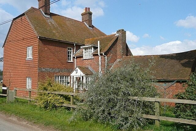
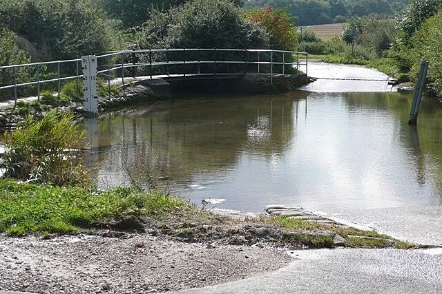
Bucklebury
Travel Guide


Visit Bucklebury

pentahotel Reading
Excellent
Reviewed on 3 May 2026

Village Hotel Bracknell
Slow service in bar
Reviewed on 11 May 2026

Danesfield House Hotel And Spa
Danesfield House is a delight. The staff were all super helpful and welcoming. Dinner on the Terrace was stunning on a warm spring evening. The grounds are wonderful and I'd recommend a wander around them. And the spa facilities included in the room price was a bonus - the sauna and steam room especially. ...
Reviewed on 10 May 2026

PREMIER SUITES Reading
A great location to stay and easy to get to and from the train station. Had booked using Hotels.com and booked 2 apartments. Whatever the mix up was I got a call saying I hadn’t paid for any of them and was a total mix up. Language barrier didn’t help and would put me off doing it again
Reviewed on 8 May 2026

City Wall House by House of Fisher
Ides for a longer stay with good facilities, clean and comfortable
Reviewed on 28 March 2026

Barn conversion, 10 mins from Henley-on-Thames. Tennis court & indoor pool.
A very well kept, lovely property. Easy to locate. A very scenic, relaxing break. I would advise booking taxis in advance as it is remote, but can’t fault anything otherwise. Thank you! We will be back.
Reviewed on 22 September 2025
Popular places to visit

Oracle
You can enjoy retail therapy at Oracle during your trip to Reading. Wander the riverfront in this quaint area.

Madejski Stadium
Catch an event at Madejski Stadium during your trip to Reading. Stroll along the riverfront or experience the lively festivals in this quaint area.

Reading Museum and Town Hall
You can browse the exhibits at Reading Museum and Town Hall, a museum with a story of its own, during your travels to Reading. Amble around this quaint area's riverfront and enjoy its lively bars.

Reading Abbey Ruins
Find out about the history of Reading when you take a trip to Reading Abbey Ruins. Amble around this quaint area's riverfront and enjoy its lively bars.
University of Reading
Take a campus tour or just explore the area of University of Reading, during your trip to Reading. Amble around this quaint area's riverfront or experience its lively festivals.
Wokefield Park Golf Club
Enjoy a round of golf in Wokefield at Wokefield Park Golf Club. Stroll along the riverfront in this quaint area, or check out its lively bars.

