أماكن الإقامة بالقرب من أماكن الجذب الشهيرة في بولدر
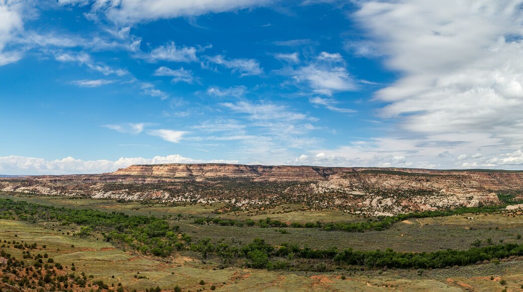
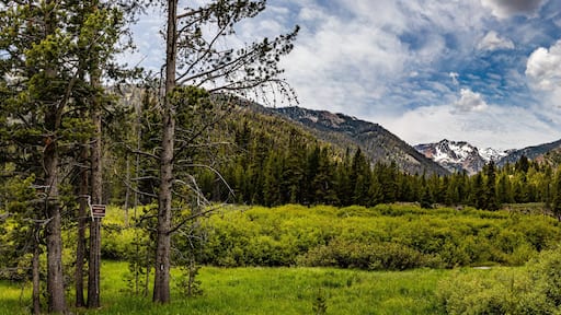
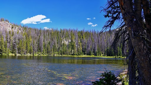
منطقة استجمام كالف كريك
9.6/5 (122 تقييمًا)
استكشف الأماكن المفتوحة الرائعة في منطقة استجمام كالف كريك، التي تُعد من المناطق الخضراء الجميلة في بولدر.يُمكنك استكشاف أنشطة التجول سيرًا في الطبيعة في أثناء وجودك بالمنطقة.
وفّر المزيد - احصل على خصم يصل إلى 25% على فنادق مختارة عند الحجز عبر التطبيق. تساعدك عروض تطبيقنا على التوفير من سعر الرحلات لتتمكن من السفر أكثر وإدارة كل رحلاتك أثناء التنقل.
امسح رمز QR ضوئيًا باستخدام كاميرا جهازك ونزّل تطبيقنا