
استكشاف بيشوبسترو
أماكن مشهورة يمكنك زيارتها

حديقة لونجليت سفاري آند �أدفينشر بارك للمغامرات
لما لا تقم بزيارة الحيوانات التي تعيش في حديقة لونجليت سفاري آند أدفينشر بارك للمغامرات في أثناء رحلاتك إلى وارمينست؟ تفقد الحدائق الغنّاء أو اكتشف المناطق الريفية الجميلة في هذه المنطقة الجذّابة.
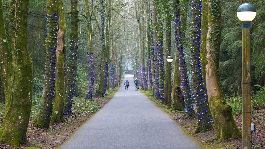
سنتر بارك لونجليات فورست
اصطحب العائلة إلى سنتر بارك لونجليات فورست واستمتع بأوقات رائعة في الحديقة الترفيهية الموجودة بوارمينست. اكتشف المناطق الريفية الجميلة والبارات المُفعمة بالحيوية في المنطقة.
لونغليت
استكشف التاريخ المحلي لهورنينجزهام عند قيامك برحلة إلى لونغليت. استمتع بالتجول حول الحدائق الغنّاء في هذه المنطقة الجذّابة واستمتع بالمطاعم الرائعة فيها.

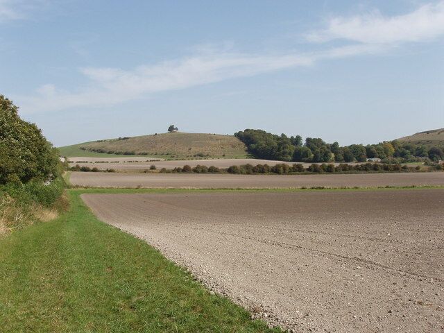
ستورهيد
يمكنك معرفة المزيد من المعلومات عن تاريخ ستورتن عند توقفك في ستورهيد. اكتشف المناطق الريفية الجميلة والبارات المُفعمة بالحيوية في هذه المنطقة الجذّابة.
حديقة ستورهيد
استكشف التاريخ المحلي لستورتن عند قيامك برحلة إلى حديقة ستورهيد. استمتع بالتجول حول الحدائق الغنّاء في هذه المنطقة الجذّابة واستمتع بالمطاعم الرائعة فيها.
Shearwater Lake
استكشف الطبيعة والأماكن الخارجية الرائعة في Shearwater Lake عند سفرك إلىLongbridge Deverill.استمتع بالتجول حول الحدائق الغنّاء في هذه المنطقة الجذّابة واستمتع بالمطاعم الرائعة فيها.

