Swaffham Bulbeck
Travel Guide
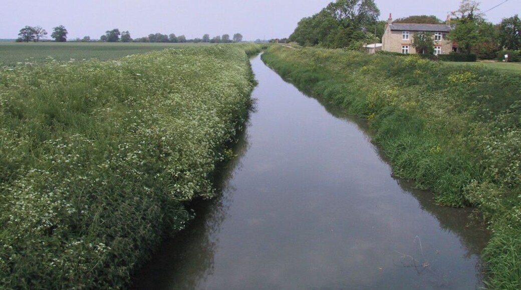


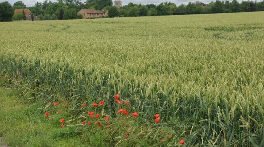
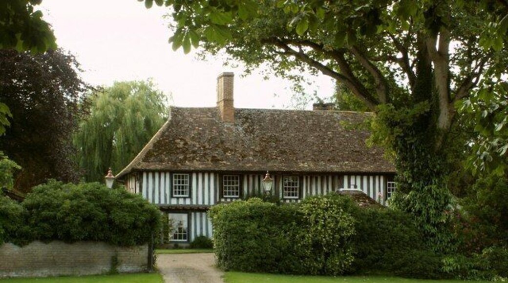
Visit Swaffham Bulbeck

ibis Cambridge Central Station
"Friendly and polite staff. Room clean and comfortable and hotel in good location for transport"
Reviewed on 22 June 2026
Wilde Cambridge City Centre
"Really modern and lovely hotel, perfect location (central but on a quiet street)"
Reviewed on 22 June 2026

Hyatt Centric Cambridge
"Room was lovely as usual. Quiet, cool in the heat, clean"
Reviewed on 22 June 2026

Turing Locke Cambridge
"Nice hotel with friendly staff. You do have to go to sister hotel next door if you want bar or restaurant/breakfast."
Reviewed on 11 June 2026

The Regent Aparthotel
"Ideal location between the railway station and the city centre, the checkin was very prompt and the staff were very helpful and informative. The room was clean with a view over the park which was very pleasant. Breakfast was typically continental and all we needed really. On our departure day, we ..."
Reviewed on 20 June 2026

Falcons Nest
"The advertised internet was a joke, when questioned the staff member seemed indifferent and suggested best location was outside by a seat in the forecourt. There are two web addresses neither of them good so don't expect to watch anything live on a lap top. The room was not cleaned or coffee refreshed ..."
Reviewed on 6 June 2026
Check Swaffham Bulbeck hotel availability
Popular places to visit

University of Cambridge
Explore the campus of University of Cambridge, during your travels in Cambridge. Stroll along the area's riverfront or experience its fascinating museums.

Imperial War Museum Duxford
You can spend time exploring the galleries in Imperial War Museum Duxford during your travels in Duxford. Stroll along the riverfront in this relaxing area, or check out its top-notch restaurants.

Cambridge Corn Exchange
You can make plans for a show at Cambridge Corn Exchange during your stay in Cambridge. Wander the picturesque gardens and riverfront in the area.

King's College
Enjoy the collegiate vibe when you visit King's College, during your travels in Cambridge. Stroll along the area's riverfront or experience its fascinating museums.
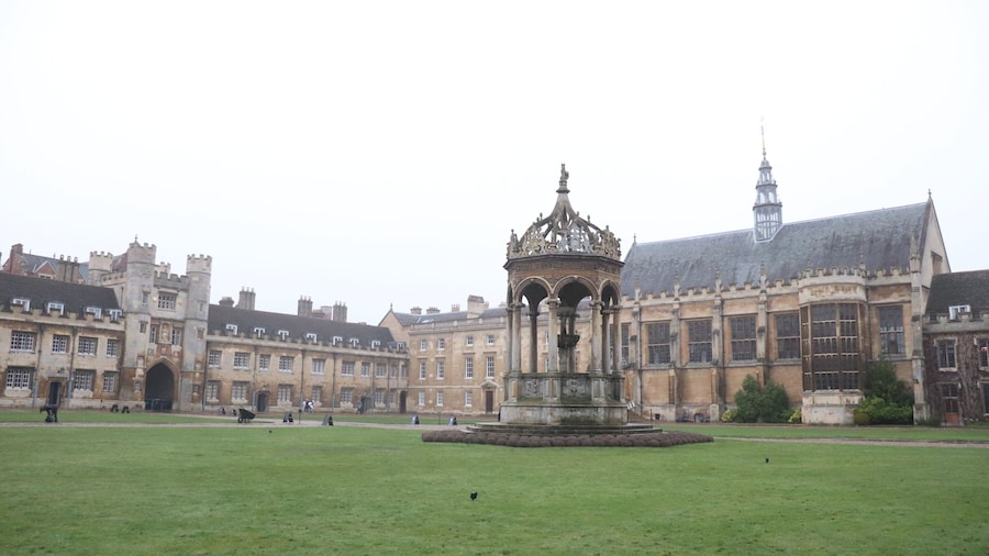
Trinity College
Explore the campus of Trinity College, during your travels in Cambridge. Wander around the area's picturesque gardens or experience its fascinating museums.

River Cam
Commune with nature and explore the great outdoors at River Cam during your travels in Cambridge City Centre. Stroll along the area's riverfront or experience its fascinating museums.

