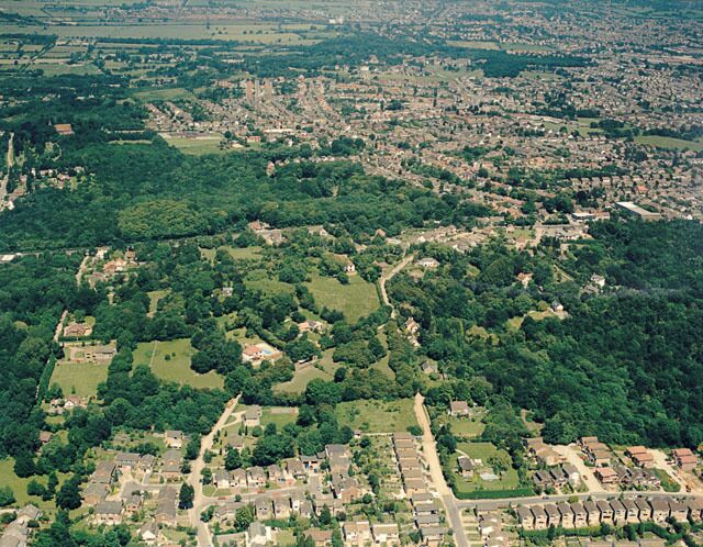
استكشاف ساوث بينفليت
أماكن مشهورة يمكنك زيارتها
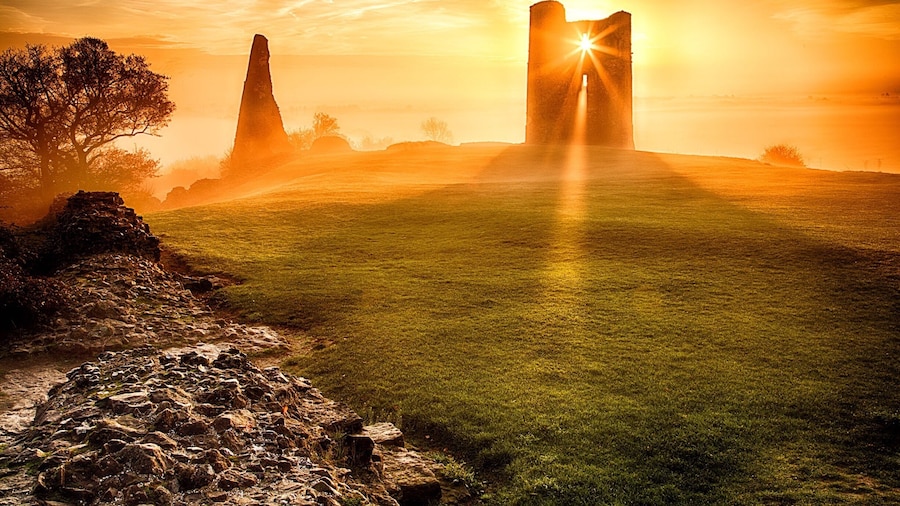
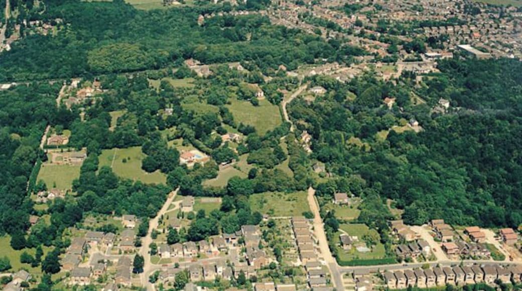
قلعة هادليه
تعرف على تاريخ بينفليت في حال كنت تقضي وقتًا في قلعة هادليه. تفقد الواجهة البحريّة وإطلالات الشواطئ الفاتنة في هذه المنطقة الملائمة للعائلات.
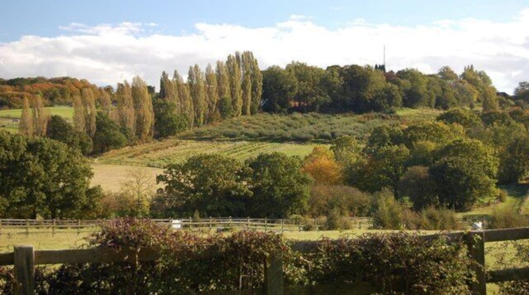
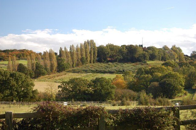
مزرعة هادلي
اصطحب عائلتك في نزهة إلى مزرعة هادلي عند قيامك برحلة إلى بينفليت.تجول في الواجهة البحريّة بالمنطقة أو استمتع ببساطة في أي من المطاعم الرائعة فيها.
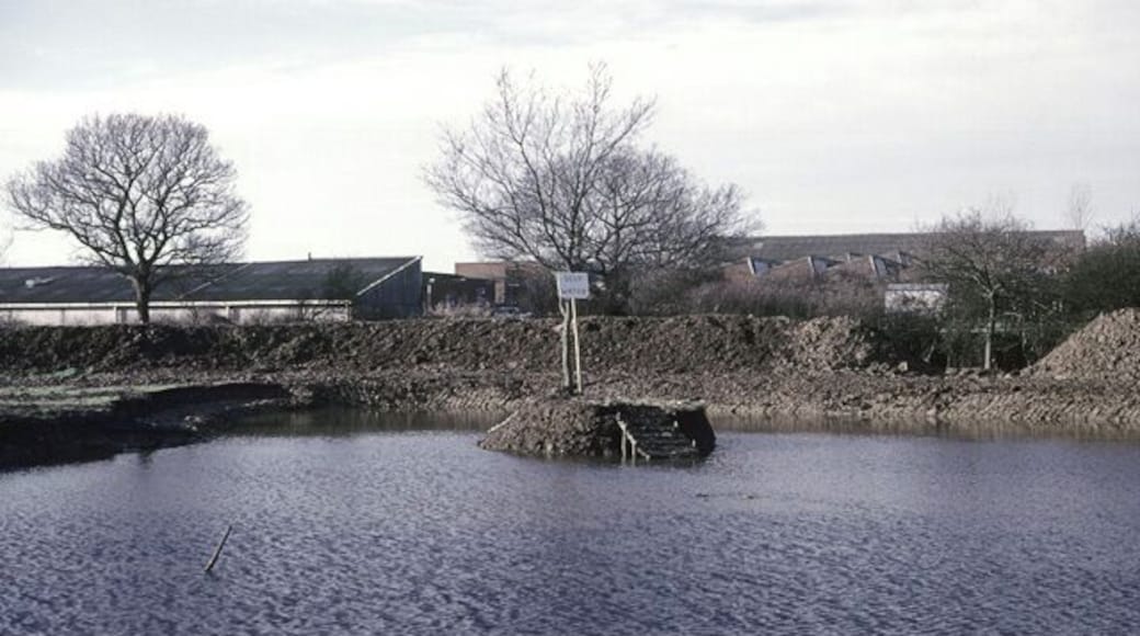
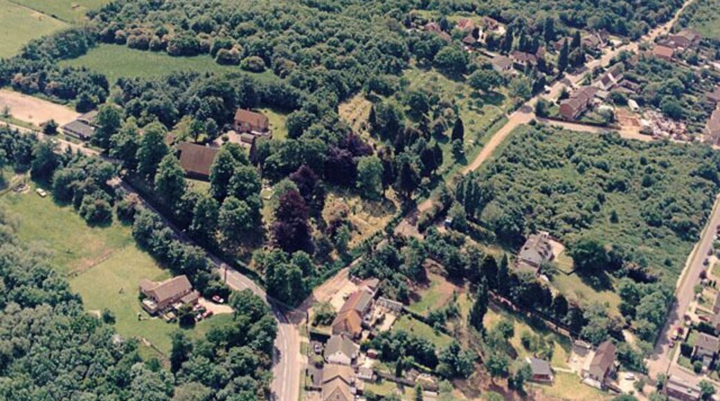
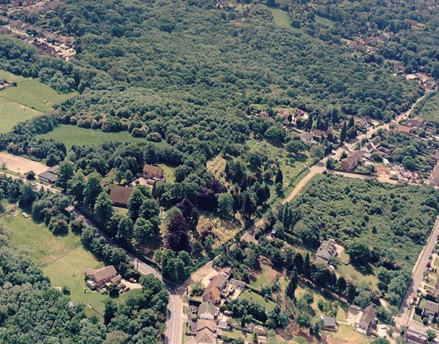
مستعمرة مزرعة جيش الخلاص
يمكنك التعرف على التاريخ المحلي لمدينة بينفليت في أثناء زيارتك مستعمرة مزرعة جيش الخلاص. استمتع بالتجول حول الواجهة البحريّة في هذه المنطقة الملائمة للعائلات واستمتع بالبارات المُفعمة بالحيوية فيها.

