استكشاف بلامبتون
أماكن مشهورة يمكنك زيارتها
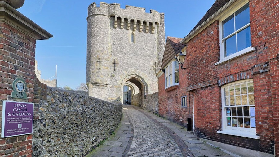
قلعة ليوز
تعرف على تاريخ ليويس في حال كنت تقضي وقتًا في قلعة ليوز. تفقد الواجهة البحريّة وإطلالات الشواطئ الفاتنة في هذه المنطقة الغنية بالطابع الثقافي.
دار الأوبرا في غليندبورن
يمكنك الحصول على تذاكر عروض في دار الأوبرا في غليندبورن خلال رحلتك إلى جليند. لا تفوت زيارة وجهات التسوق والكافيتيريات المُبهرة في هذه المنطقة الملائمة للتجول مشيًا.
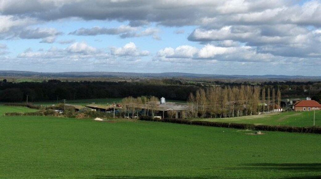
مزرعة تشارلستون
استكشف التاريخ المحلي لFirle عند زيارة مزرعة تشارلستون. تجول في الواجهة البحريّة بالمنطقة أو استمتع ببساطة في أي من الكافيتيريات المُبهرة فيها.
حدائق ساوثوفير جرانج
استكشف الأماكن المفتوحة الرائعة في حدائق ساوثوفير جرانج، التي تُعد من المناطق الخضراء الجميلة في ليويس.تفقد الواجهة البحريّة وإطلالات الشواطئ الفاتنة في هذه المنطقة الغنية بالطابع الثقافي.
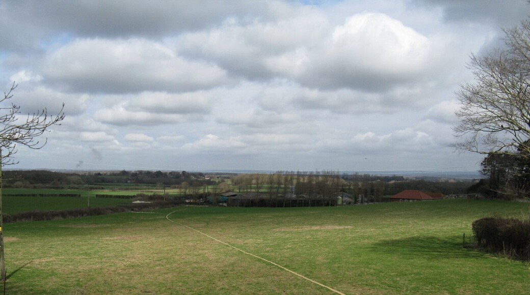
مضمار سباق بلومبتون
يمكنك تخصيص وقت لزيارة مضمار سباق بلومبتون في أثناء سفرك إلى بلامبتون.لا تفوت زيارة مراكز السبا والبارات المُفعمة بالحيوية في هذه المنطقة الملائمة للتجول مشيًا.
متحف باربيكان هاوس
يُمكنك تصفح المعروضات الموجودة في متحف باربيكان هاوس، والتي تُعد متحفًا فريدًا، وذلك في أثناء رحلتك إلى ليويس. تجول على طول الواجهة البحريّة أو استمتع بزيارة وجهات التسوق في هذه المنطقة الغنية بالطابع الثقافي.


