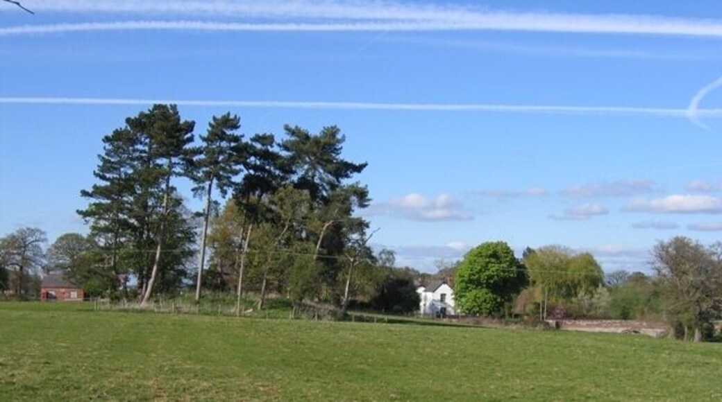
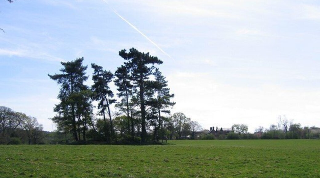
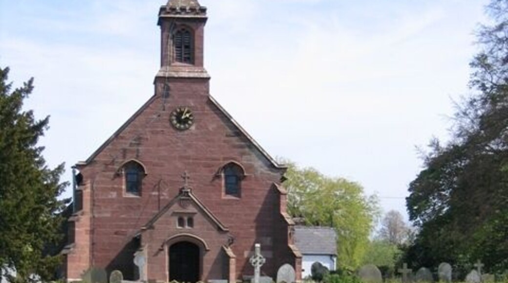
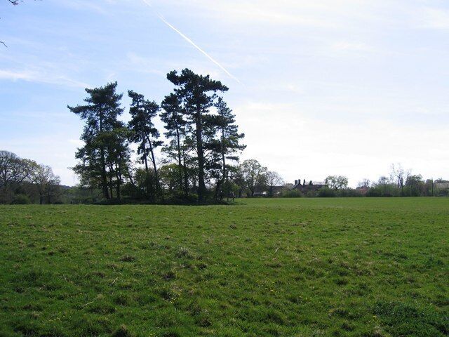
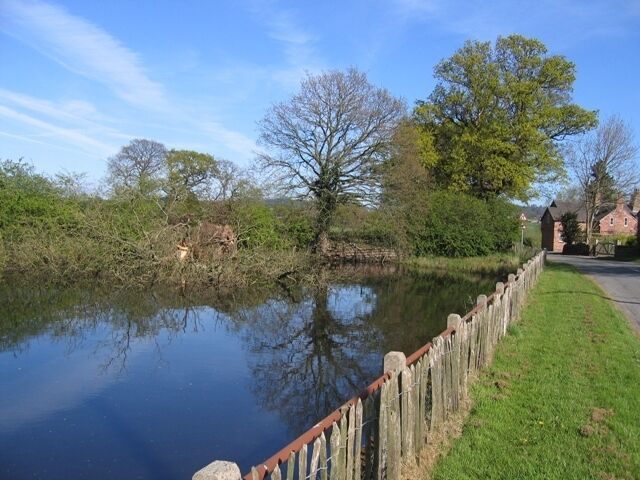
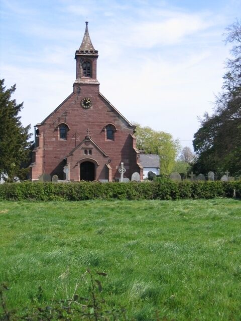
استكشاف كودينغتون
أماكن مشهورة يمكنك زيارتها

حديقة الحيوان في تشيستر
لما لا تقم بمشاهدة الحيوانات المحلية والغريبة التي تعيش في حديقة الحيوان في تشيستر في أثناء رحلتك إلى تشيستر؟ لا تفوت زيارة مراكز السبا والمطاعم الرائعة في هذه المنطقة التي تبعتث على الاسترخاء.

مضمار السباق في تشيستر
يمكنك �تخصيص وقت لزيارة مضمار السباق في تشيستر في أثناء سفرك إلى تشيستر.تجول على طول الواجهة النهريّة أو استمتع بزيارة وجهات التسوق في المنطقة.

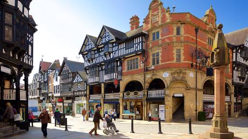
تشيستر سيتي وولز
استكشف تاريخ تشيستر عند قيامك برحلة إلى تشيستر سيتي وولز. أضف وجهات التسوق أو مراكز السبا في المنطقة إلى جدول سفرك.

كاتدرائية تشيستر
بعد زيارة كاتدرائية تشيستر، خطط لرؤية المعالم الأخرى والاستمتاع بغير ذلك من الأنشطة في تشيستر.أضف مراكز السبا أو وجهات التسوق في المنطقة إلى جدول سفرك.
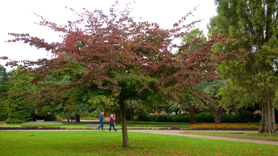
متنزه جروسفينور
بعد زيارة متنزه جروسفينور، خطط لرؤية المعالم الأخرى والاستمتاع بغير ذلك من الأنشطة في تشيستر.خصص وقتًا لزيارة مراكز السبا في المنطقة، أو ببساطة استمتع بالبارات المُفعمة بالحيوية فيها.

جامعة تشيستر
استمتع بالأجواء الجامعية من خلال زيارة جامعة تشيستر في أثناء زيارتك لتشيستر. تجول على طول الواجهة النهريّة في المنطقة، أو استمتع ببساطة بالبارات المُفعمة بالحيوية فيها.


